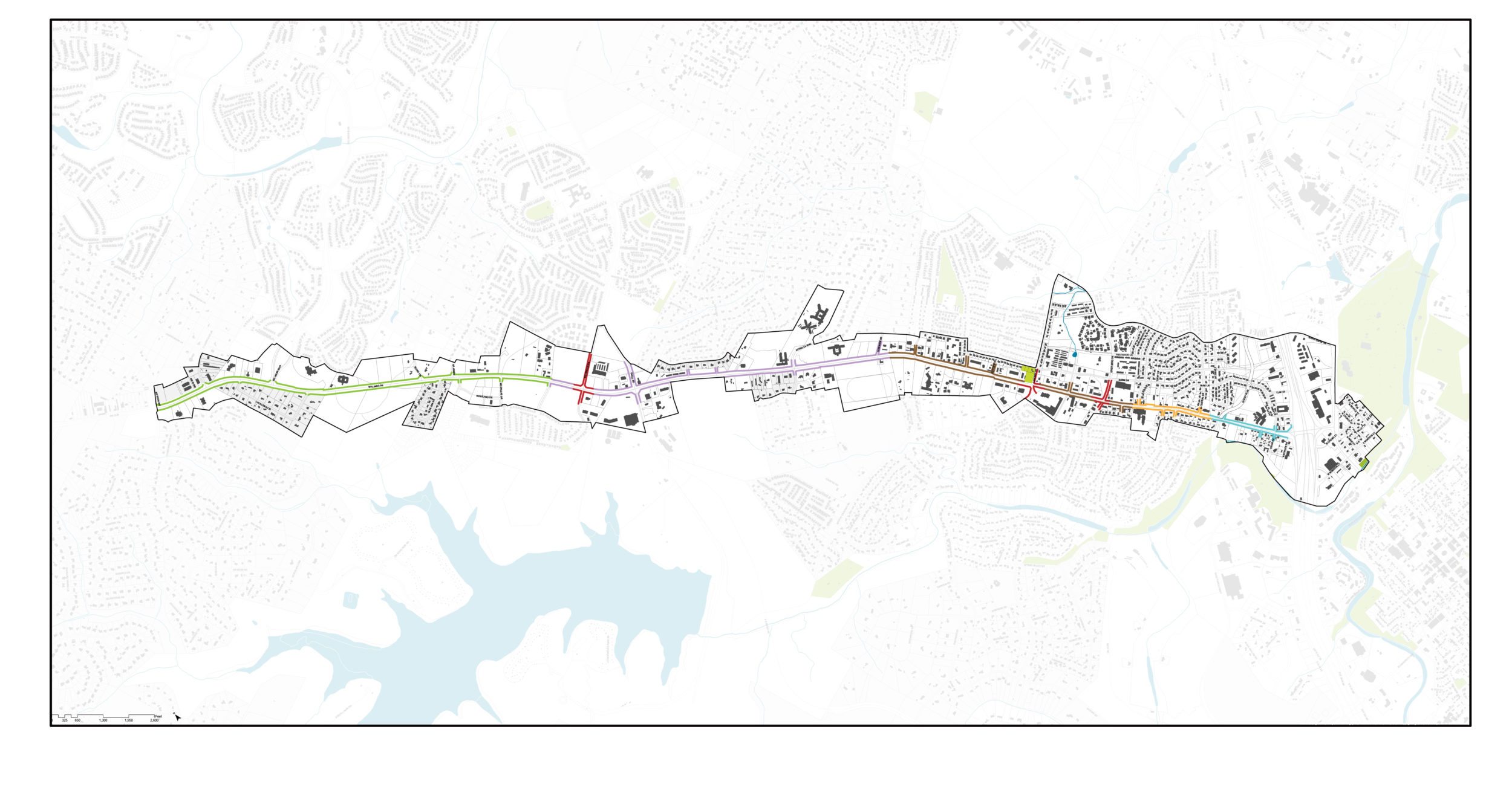
2003 Williams Drive Corridor Study
The 2003 Williams Drive Corridor Study was developed to provide a guide to the development and redevelopment along the Williams Drive corridor from the I-35 intersection northwest to CR 245. The study looked at the relationships between existing land uses, vehicle and pedestrian routes, and market development patterns in order to develop the Future Land Use Plan for the project area.
2005 Williams Drive Gateway Redevelopment Study
The 2005 Williams Drive Gateway Redevelopment Study was developed by the city to aid in the completion of the Williams Drive Gateway Redevelopment Master Plan. The Gateway area is bounded by I-35 to the east, the San Gabriel River to the south, Northwest Blvd to the north, and approximately Morris Drive/Park Lane/Cedar Ridge Apartments to the west.
2006 Williams Drive Gateway Redevelopment Master Plan
The 2006 Williams Drive Gateway Redevelopment Master Plan was developed to transform the Williams Drive Gateway area, an underperforming opportunity site and revitalize it into a destination. Building on the baseline conditions of the 2005 Williams Drive Gateway Redevelopment Study, the key elements of the master plan included:
- An expanded street network to improve mobility and access within the study area and surrounding area
- The redevelopment of the Mc Coy Elementary School parcel to integrate the proposed street network changes and provide space for a new civic square
- Emphasis on multi-story mixed use buildings along the main corridors
- Establish the Gateway area as a destination located between downtown and the northwest areas of Williams Drive
- An area specific Tax Increment Reinvestment Zone (City Ordinance 2006-104)
Specific transportation recommendations included in the plan are:
- A new north-south “Main Street” connecting Williams Drive and Northwest Boulevard.
- A landscaped median along Williams Drive
- A bridge I-35 connecting Northwest Boulevard and FM 971
- Improved traffic flow and access management along the service road and Williams Drive
2014 Overall Transportation Plan
The 2014 Overall Transportation Plan was developed to coordinate with the 2030 Comprehensive Plan.
The Overall Transportation Plan identifies Williams Drive as one of the most heavily traveled roadways in the City, and as being overcapacity between the I-35 interchange and Lakewood Drive. The plan provides the following recommendations specific to the Williams Drive study area:
- Intersection improvements at Williams Drive and Rivery Boulevard, as well as Williams Drive and Austin Avenue
- Rivery Boulevard extension from Williams Drive to Northwest Boulevard
- Widening of the I-35 southbound Frontage Road from Williams Drive to Rivery Boulevard
2015 Transit Development Plan
As recommended in the 2014 Overall Transportation Plan, the City developed the 2015 Transit Development Plan (TDP). Operation of the transit system is planned to begin by August 2017 with
Route 4 Blue providing service along Williams Drive.
2016 Williams Drive Study
The Study developed a plan that applies comprehensive planning elements and recommends projects and implementation plans that enhance multimodal transportation, safety, mobility, connectivity, and economic development; establishing the area as a premier gateway into Georgetown.